Get Started With Django
Published on May 04, 2020 | Bikesh Bade | 4904 views
Django is a fully-featured Python web framework that can be used to build complex web applications.
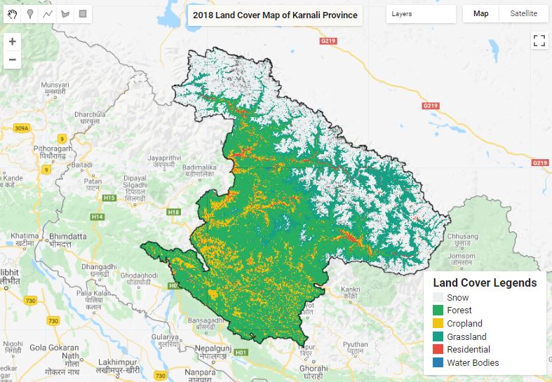
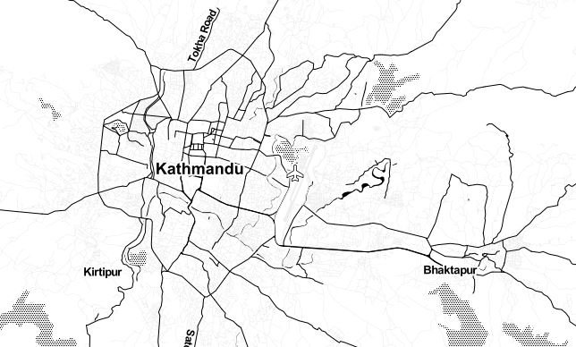
Land Cover Mapping - Part 2
Published on May 31, 2020 | Bikesh Bade | 4368 views
The surface of the Earth is continuously changing at many levels; local, regional, national, and global scales. Changes in land use and land cover are pervasive, rapid, and can have significant impacts on people, the economy, and the environment.
SATELLITE IMAGERY - Link to asses free satellite imagery
Published on Apr 08, 2020 | Bikesh | 4351 views
FREE SATELLITE IMAGERY SOURCE LINK
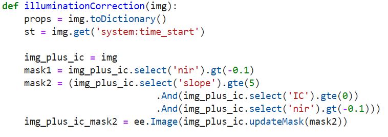
Topographic illumination correction for Sentinel 2 - Python API
Published on Apr 26, 2020 | Bikesh Bade | 4181 views
Variation in the reflectance within the same land cover type can be seen in mountain areas caused due to sun position, slope, and aspect of the landform.
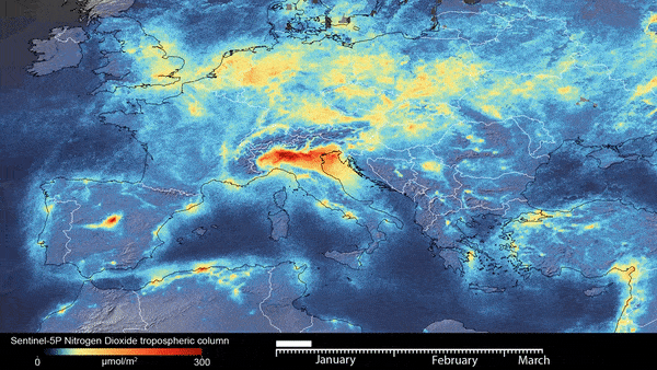
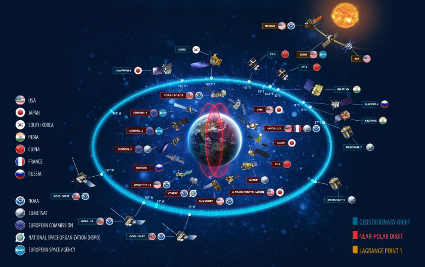
Extract hourly Copernicus Climate data - Python API
Published on Apr 02, 2020 | Bikesh Bade | 4026 views
Copernicus is the European Union's Earth Observation Programme, looking at our planet and its environment.
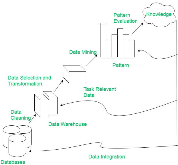
Integrate Google Earth Engine(GEE), Pandas framework and Matplotlip - Spatial Data Mining
Published on Apr 04, 2020 | Bikesh Bade | 3912 views
Discovery Pattern in Spatial data, extract potentially useful information from data stored in images and visualize the result in dynamic charts.

Google Earth Engine - Hello World
Published on Sep 20, 2020 | Bikesh Bade | 2979 views
Time to write your first JavaScript for Earth Engine! In your Chrome browser, go to code.earthengine.google.com and copy the following into the Code Editor
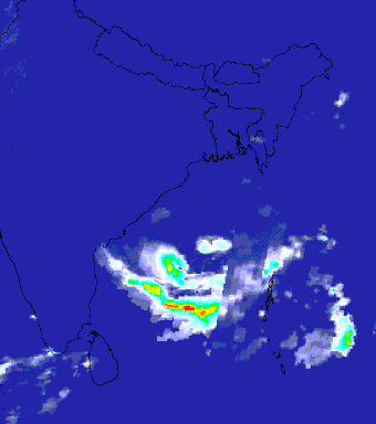
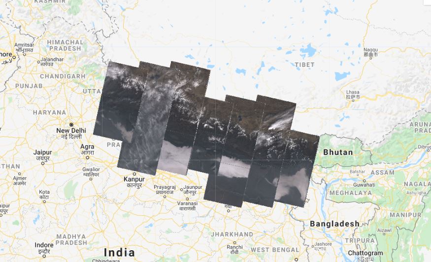
Google Earth Engine tip 2 (Cyclone Thumnail)
Published on May 27, 2021 | Bikesh Bade | 2881 views
The Indian Ocean cyclone season has no official bounds, but cyclones tend to form between April and December, with the peak from May to November. With Google Earth Engine you can create and visualize the cyclone in the video for a particular day.

Download Soil Map as WMS Web Map Service
Published on Apr 04, 2020 | Bikesh Bade | 2450 views
Looking for Soil Raster data products? Extract the SoilGrids 250m predictive maps of soil properties and classes for the Global soil database for the desired extend with WMS Web Map Service.
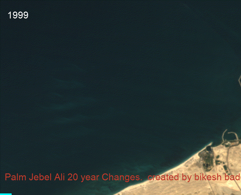
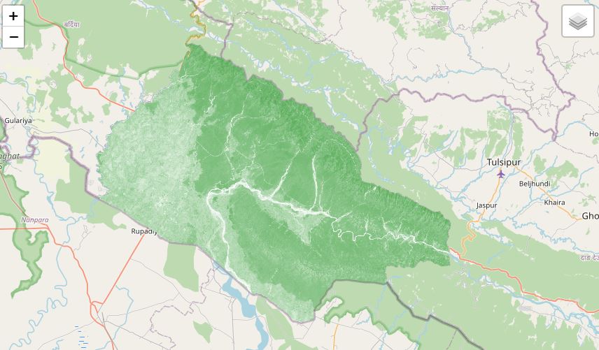
20 year Time-series change of Mega projects
Published on Jun 09, 2020 | Bikesh Bade | 2412 views
20 year Time series analysis of megaproject using Landsat satellite.
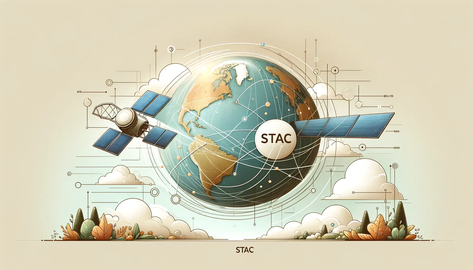
STAC: Transforming Remote Sensing Data Management.
Published on Feb 18, 2024 | Bikesh Bade | 1692 views
Is STAC the next big thing in remote sensing data, it certainly has the potential to play a significant role in the future of geospatial data management and analysis.
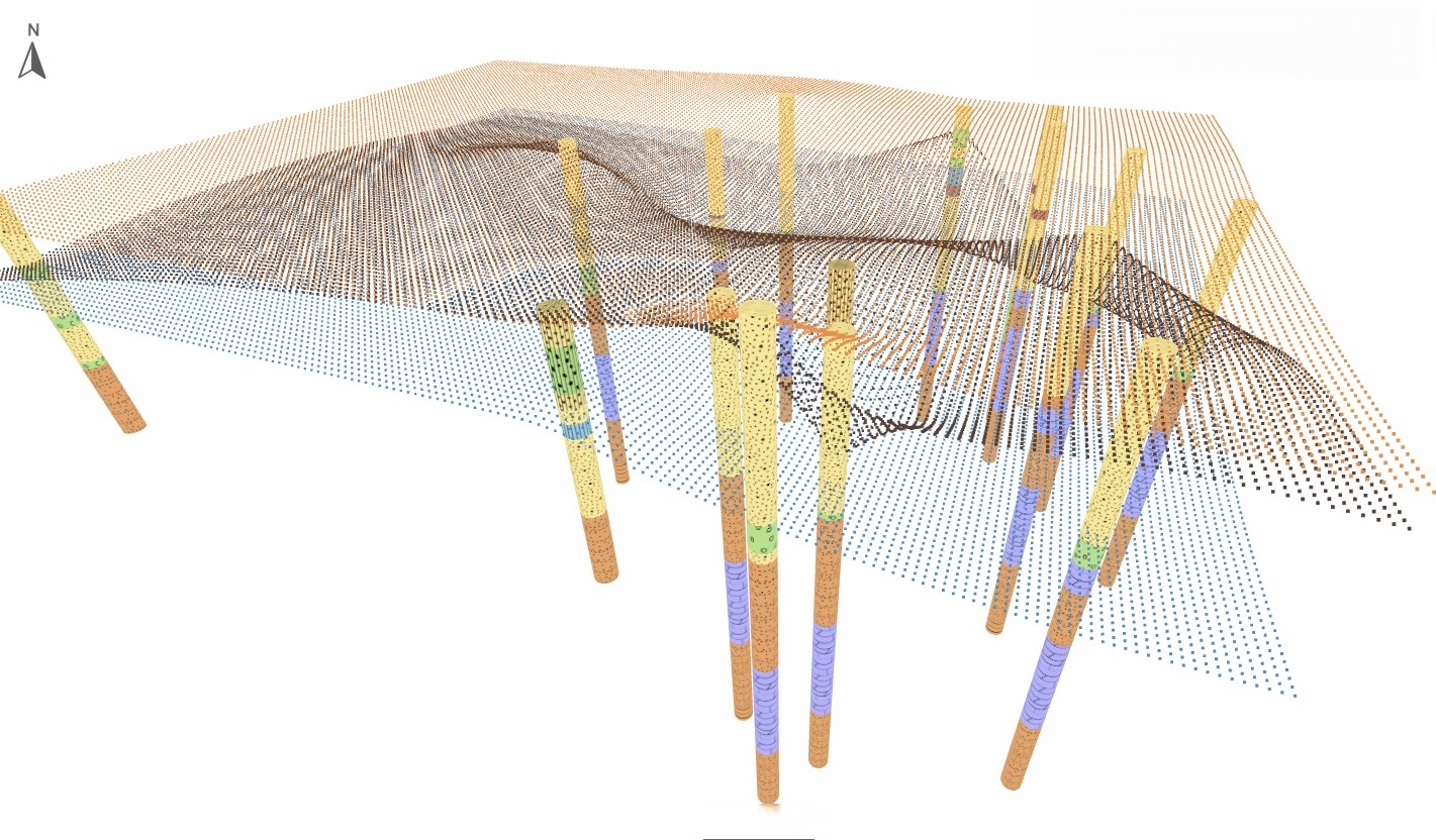
GIS in Geotechnical Engineering: Unlocking the Power of Geodatabases
Published on May 10, 2025 | Bikesh Bade | 535 views
Geotechnical engineering is evolving rapidly, and at the heart of this transformation lies GIS (Geographic Information Systems)—a technology that has become indispensable for managing, analyzing, and visualizing subsurface data. From borehole logs and lab test results to terrain modeling and hazard mapping, GIS is redefining how we approach ground investigations.